Turn data into decisions with GRED Institute’s industry-leading GIS and Remote Sensing programs. From hands-on projects to professional placement, we bridge the gap between academic theory and a high-impact geospatial career.
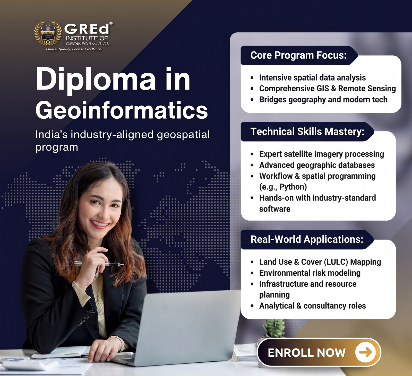
Comprehensive GIS and Remote Sensing programs covering spatial analysis, satellite image processing, ArcGIS, QGIS, and industry-level geospatial projects.

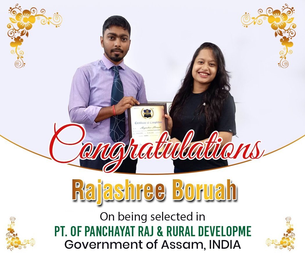
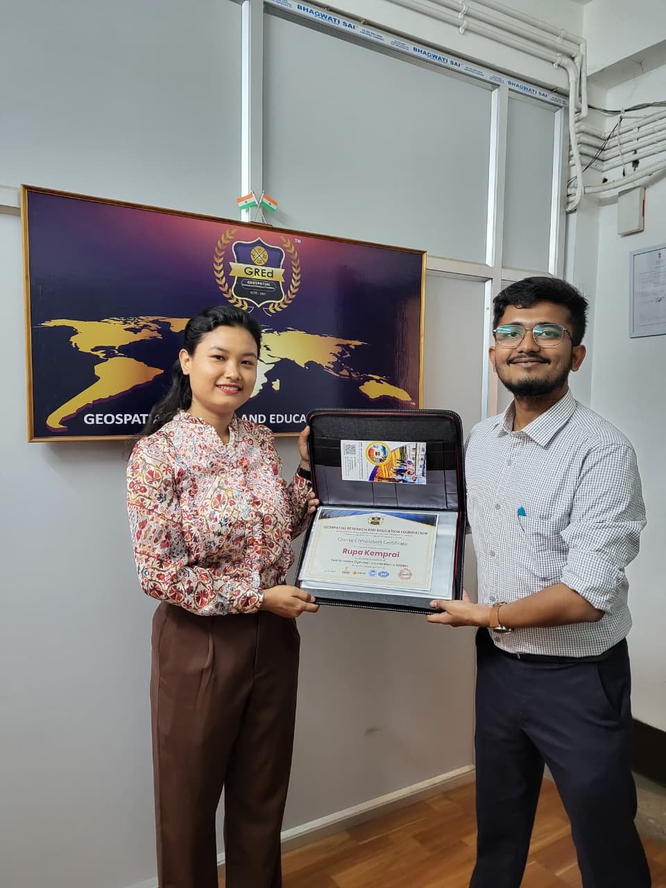
Our students are working in leading geospatial, infrastructure, and technology organizations.
Placement Rate
Highest Package
Average Package
Rating


Legal Framework
Registrations and Accrediations


Welcome to GRED Institute of Geoinformatics, your premier destination for cutting-edge GIS and Remote Sensing education in Northeast India. We are dedicated to nurturing the next generation of spatial thinkers and problem-solvers, equipping them with the skills to tackle complex challenges from urban planning to environmental conservation.
Build geospatial expertise through structured programs, certifications, internships, and professional training.
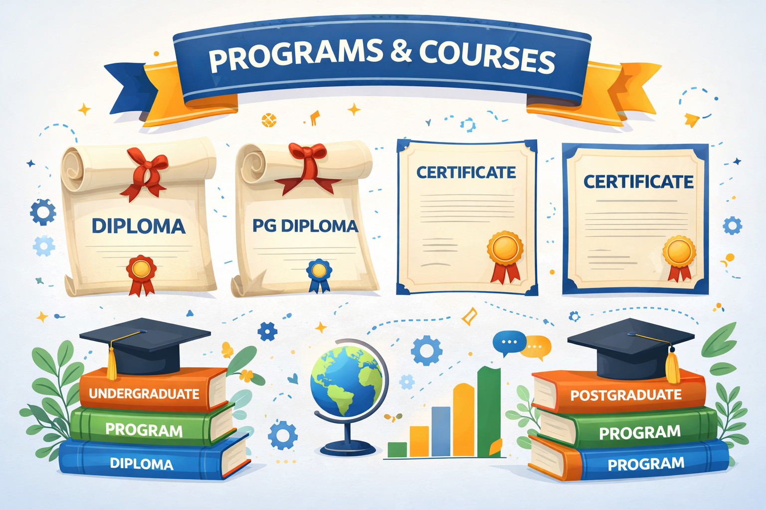
Comprehensive GIS and Remote Sensing programs covering spatial analysis, satellite image processing, ArcGIS, QGIS, and industry-level geospatial projects.
Explore Programs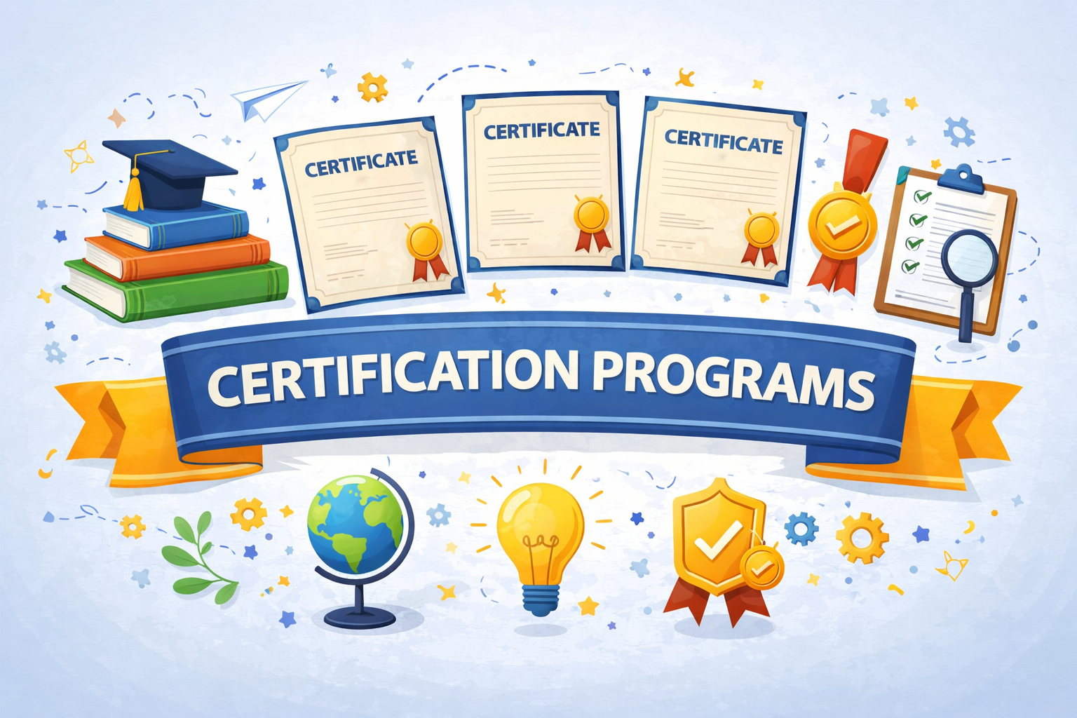
Short-term certification programs focused on specialized geospatial tools, drone mapping, surveying techniques, and spatial data analysis.
Explore Certificates
Professional GIS training programs designed for educators and academic institutions to integrate geospatial technology into their curriculum.
Explore Teacher Training Cohort
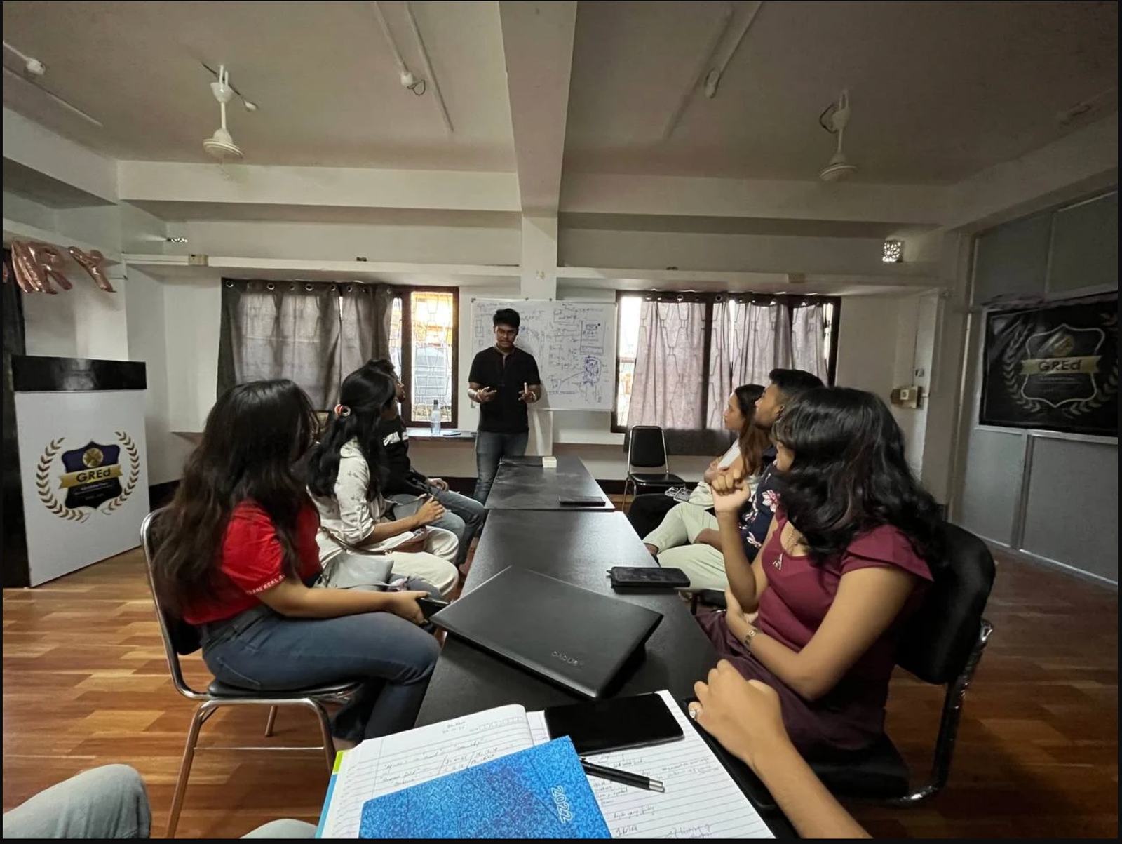
Hands-on GIS internships where students work on real geospatial projects including satellite imagery analysis, spatial mapping, and land-use classification.
Explore InternshipGuidance for academic research, GIS-based studies, and publication assistance.

<p>Research Paper Assistance helps students and researchers perform geospatial data analysis, develop research methodologies, and prepare academic papers for journals and conferences in GIS and remote sensing.</p>
Get Research SupportExplore articles on GIS, remote sensing, satellite imagery, and spatial data analysis
Build a career in GIS, Remote Sensing, and Geospatial Technologies with industry-focused training.
Learn from experienced professionals, work on real-world projects, and gain skills that
Limited seats available. Secure your admission now and start your journey toward high-demand geospatial careers.
Do You have any questions in mind?
+91 69007 88440, +91 77300 52080
3rd Floor, Mitra Commercial Building
Ashram Road, Ulubari
Guwahati, Assam 781007
Copyright © . GRED INSTITUTE OF GEOINFORMATICS. All Rights Reserved.
We specialize in Geographic Information Systems (GIS), spatial intelligence, mapping automation, and geospatial data solutions for government agencies, infrastructure firms, and enterprises.