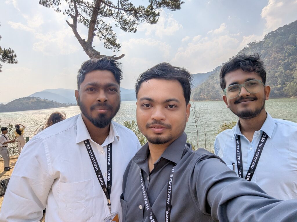
At GRED Institute of Geoinformatics, our success in shaping the next generation of leaders is powered by a dedicated and visionary leadership trio. This core team combines strategic foresight, academic excellence, and unwavering student support, ensuring every aspect of your learning journey is meticulously guided and enriched.
Together, these three pillars embody GRED’s commitment to delivering unparalleled GIS and Remote Sensing education in Northeast India
His research interests also include critical areas such as 💧 flood zonation in Assam State and detailed studies of 🌊 river basins in Northeast India, showcasing his commitment to applying geospatial solutions to pressing environmental issues 🌐.
Kunal Rao’s expertise is broad and impactful, spanning: 


His dedication to the field extends to prominent international affiliations. He is a valued 🇫🇷 Member of the International Association of Geomorphologists’ Post-Graduate Group (IAGP) in France, fostering global academic exchange. Furthermore, his commitment to enhancing geographic literacy is underscored by his confirmed 📚 membership with the National Council for Geographic Education (NCGE), an organization dedicated to advancing the quality of geography teaching and learning.
A testament to his burgeoning influence and innovative spirit, Maddu Kunal Rao was honored as a 🌟 “Geospatial World 50 Rising Stars 2023” awardee. This prestigious recognition 🏆 solidifies his position among the top young professionals globally who are actively shaping the future trajectory of geospatial technologies 🚀.
✈️ DGCA Certified Drone Pilot: Joydeep is a certified drone pilot by the Directorate General of Civil Aviation (DGCA), bringing invaluable, direct experience in drone operations, data acquisition, and aerial mapping. This expertise is crucial for training our GeoInnovators in the rapidly expanding field of UAV-based geospatial solutions.
☁️ Google Earth Engine (GEE) Expert: As a recognized expert in Google Earth Engine, he empowers students to harness the immense power of cloud-based geospatial analysis for large-scale environmental monitoring, land-use change detection, and big data processing.
🌍 Certified QGIS Trainer: Joydeep holds certification as a QGIS trainer, specializing in open-source GIS. He provides in-depth, practical training that enables students to master this versatile and widely used platform for mapping, analysis, and data management.
💻 Applied Geospatial Solutions: His guidance focuses on real-world applications, bridging the gap between theoretical knowledge and practical execution, particularly for projects relevant to Northeast India’s diverse geographical and environmental challenges.
Joydeep Ghosh’s specialized knowledge in drone technology, cloud-based analytics, and open-source platforms ensures that GRED students receive comprehensive, practical training with the tools that are currently shaping the geospatial industry. He is a key asset in nurturing the hands-on skills of every aspiring
Academically grounded with an M.Sc. in GIS from the prestigious Bangalore University, his expertise is deeply rooted in both theoretical understanding and over a decade of practical, on-the-ground experience in Geographic Information Systems (GIS) and Remote Sensing applications. Chiranjeeb Konwar's dedication extends to fostering a new generation who are not just users of technology, but skilled problem-solvers. He consistently integrates the latest software versions and emerging technologies into GRED's programs, ensuring students are always equipped with the most relevant and in-demand skill sets for the rapidly evolving geospatial industry. His leadership in training is fundamental to GRED's reputation as a premier institute for GIS and Remote Sensing in Assam.
His extensive field experience includes direct involvement in critical survey projects, notably as a key part of drone-based and DGPS-based survey initiatives. This direct, practical insight into data acquisition and high-precision mapping underpins his teaching, ensuring GRED's curriculum is not just current, but profoundly connected to industry demands and on-the-ground realities.
His commitment ensures that GRED's curriculum is not just theoretical, but deeply embedded with practical case studies and industry best practices.
Welcome to GRED Institute of Geoinformatics, your premier destination for cutting-edge GIS and Remote Sensing education in Northeast India. We are dedicated to nurturing the next generation of spatial thinkers and problem-solvers, equipping them with the skills to tackle complex challenges from urban planning in Guwahati to environmental conservation across Assam