Comprehensive GIS and Remote Sensing programs covering spatial analysis, satellite image processing, ArcGIS, QGIS, and industry-level geospatial projects.

Embark on a transformative journey into the world of geospatial technology. This comprehensive one-year diploma program equips you with the fundamental skills and advanced knowledge to analyze, visualize, and interpret geographic data for a wide range of industries. Master cutting-edge tools and methodologies to solve complex real-world challenges with location-based insights.
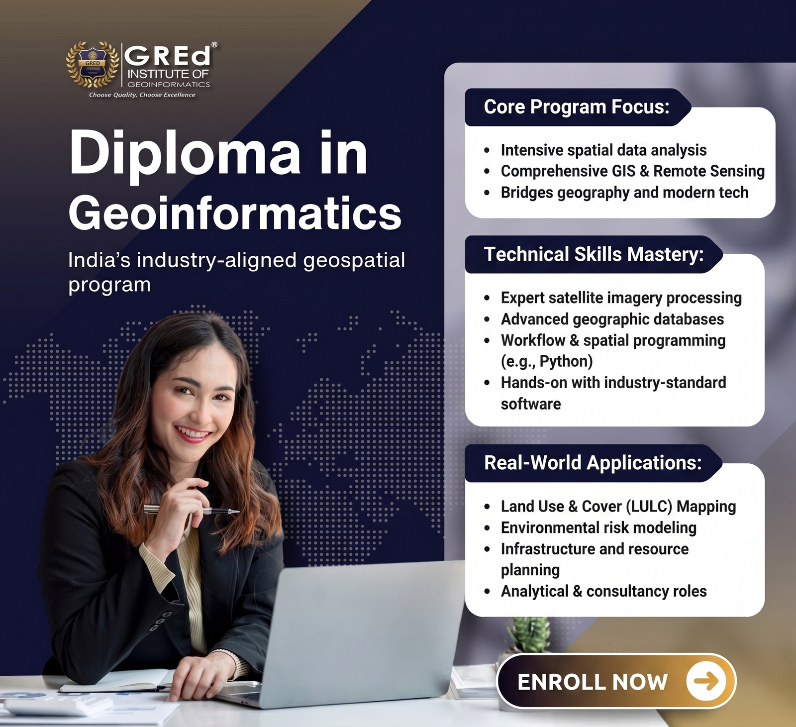
An intensive, practical program designed to build core expertise in spatial data analysis, Geographic Information Systems (GIS), and remote sensing. It bridges the gap between foundational geography and modern technological applications.
The curriculum focuses on hands-on technical skills, training students to process satellite imagery, manage geographic databases, and utilize advanced industry-standard software.
Support services for researchers including geospatial data analysis, mapping assistance, and guidance for publishing GIS-related research papers.

3rd Floor, Mitra Commercial Building
Ashram Road, Ulubari
Guwahati, Assam 781007
+91 69007 88440, +91 77300 52080
3rd Floor, Mitra Commercial Building
Ashram Road, Ulubari
Guwahati, Assam 781007
Copyright © . GRED INSTITUTE OF GEOINFORMATICS. All Rights Reserved.
We specialize in Geographic Information Systems (GIS), spatial intelligence, mapping automation, and geospatial data solutions for government agencies, infrastructure firms, and enterprises.