Start your journey in GIS & Geospatial Technologies. Limited seats available.
Complete your admission in just a few easy steps
Enter your basic details to begin your application process.
Provide your academic and personal details accurately.
Secure your admission by completing the payment process.
Receive confirmation and start your learning journey.
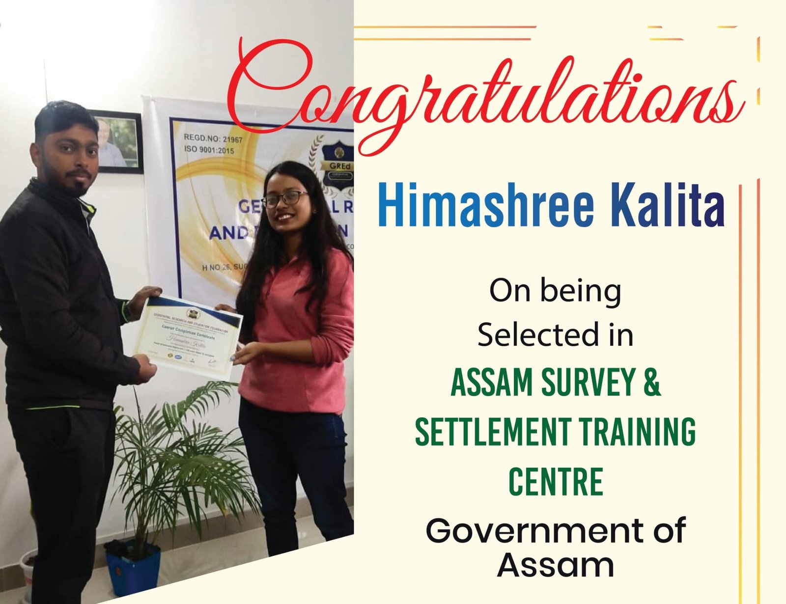
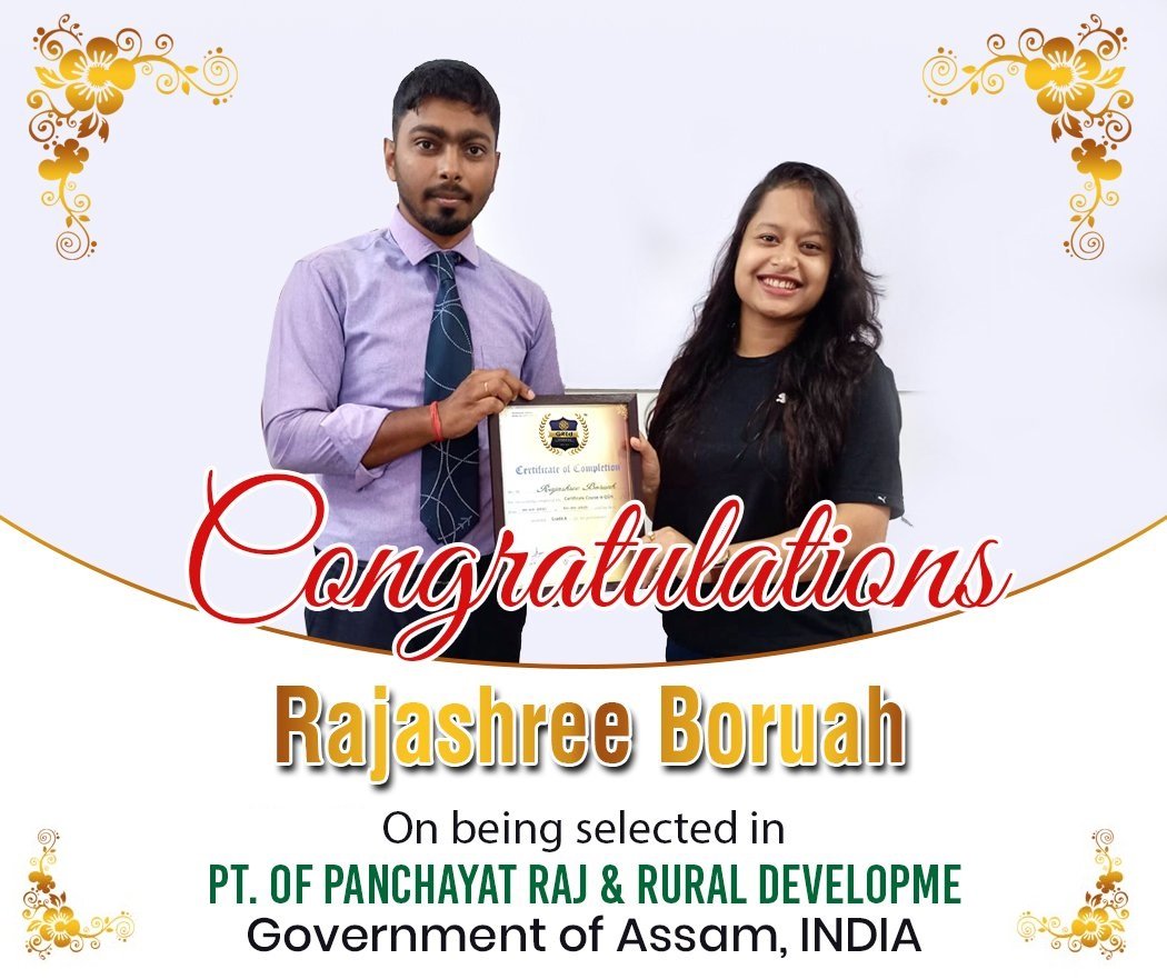
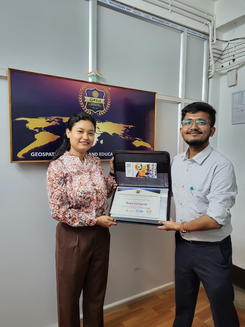
Our students are working in leading geospatial, infrastructure, and technology organizations.
Placement Rate
Highest Package
Average Package
Rating
Build geospatial expertise through structured programs, certifications, internships, and professional training.
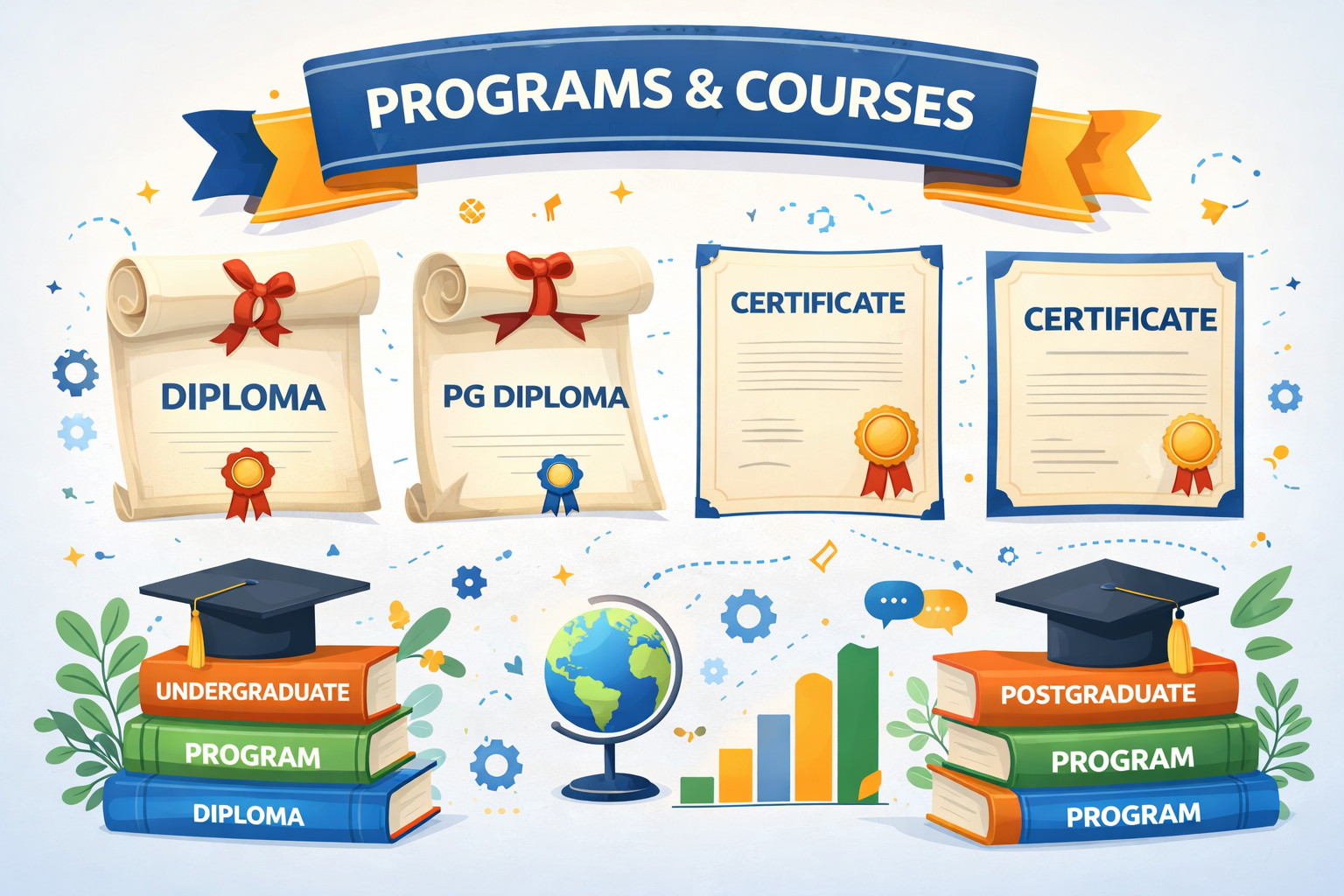
Comprehensive GIS and Remote Sensing programs covering spatial analysis, satellite image processing, ArcGIS, QGIS, and industry-level geospatial projects.
Explore Programs
Short-term certification programs focused on specialized geospatial tools, drone mapping, surveying techniques, and spatial data analysis.
Explore Certificates
Professional GIS training programs designed for educators and academic institutions to integrate geospatial technology into their curriculum.
Explore Teacher Training Cohort
Hands-on GIS internships where students work on real geospatial projects including satellite imagery analysis, spatial mapping, and land-use classification.
Explore InternshipLET'S TALK WITH FACTS
Industry-oriented GIS training with practical projects, expert mentors, and real geospatial tools used by professionals worldwide.


Legal Framework
Registrations and Accrediations


Do You have any questions in mind?
+91 69007 88440, +91 77300 52080
3rd Floor, Mitra Commercial Building
Ashram Road, Ulubari
Guwahati, Assam 781007
Copyright © . GRED INSTITUTE OF GEOINFORMATICS. All Rights Reserved.
We specialize in Geographic Information Systems (GIS), spatial intelligence, mapping automation, and geospatial data solutions for government agencies, infrastructure firms, and enterprises.