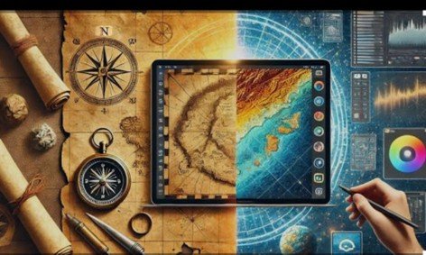
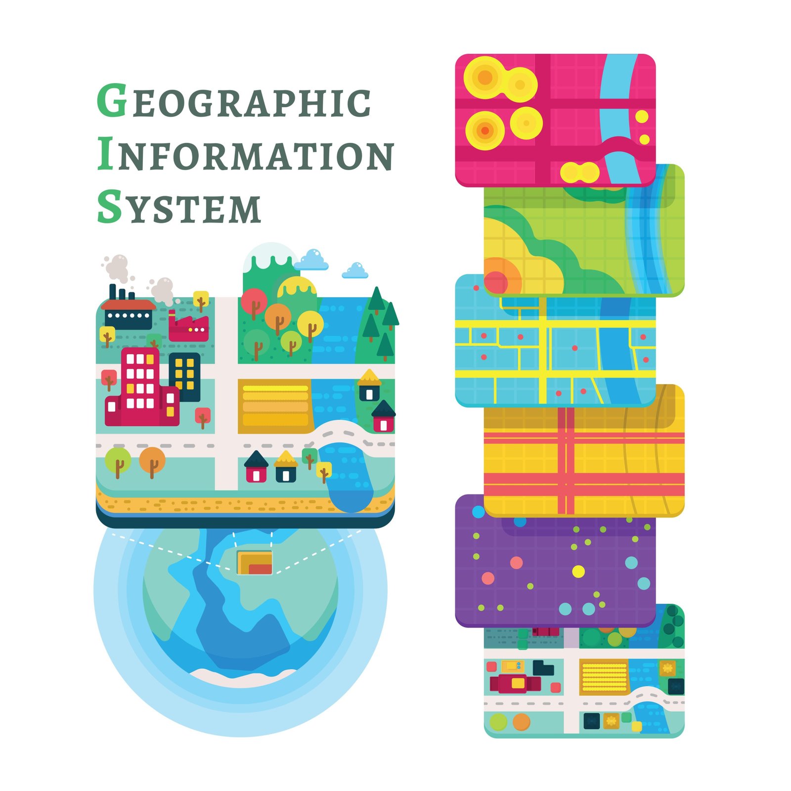
Discover the power of spatial data. Learn what GIS is, why it matters, and how you can start your journey into the wo...
Read More →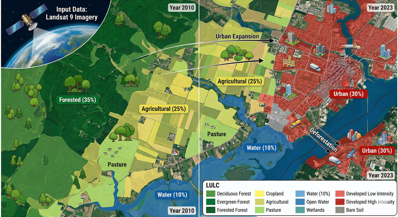
What is the difference between Land Use and Land Cover? Learn how GIS professionals use satellite imagery to monitor...
Read More →+91 69007 88440, +91 77300 52080
3rd Floor, Mitra Commercial Building
Ashram Road, Ulubari
Guwahati, Assam 781007
Copyright © . GRED INSTITUTE OF GEOINFORMATICS. All Rights Reserved.
We specialize in Geographic Information Systems (GIS), spatial intelligence, mapping automation, and geospatial data solutions for government agencies, infrastructure firms, and enterprises.