
GIS professionals are needed in urban planning, environmental management, disaster response, agriculture, and infrastructure development. Governments and private organizations rely heavily on geospatial data.
The geospatial industry is expanding rapidly with opportunities in GIS analysis, remote sensing, mapping, spatial data science, and geospatial software development.
GIS helps solve real-world challenges such as climate monitoring, smart city planning, resource management, and disaster management. Professionals contribute to meaningful global solutions.
LET'S TALK WITH FACTS
Industry-oriented GIS training with practical projects, expert mentors, and real geospatial tools used by professionals worldwide.
GIS training provides practical technical skills that are valuable in many modern industries.
GIS enables professionals to analyze spatial data, visualize patterns, and make informed decisions using maps and geographic models.
Organizations across sectors require geospatial professionals, creating stable job opportunities in government agencies, research institutions, and private companies.
GIS is used worldwide for mapping, navigation, environmental studies, and infrastructure planning, making it a globally recognized skill.
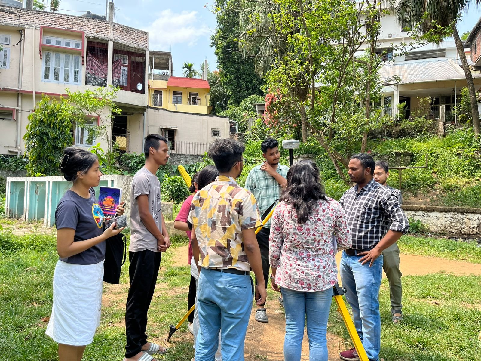
We specialize in geospatial technologies including GIS analysis, satellite imagery processing, remote sensing, and LiDAR-based terrain modeling.
Do You have any questions in mind?
+91 69007 88440, +91 77300 52080
3rd Floor, Mitra Commercial Building
Ashram Road, Ulubari
Guwahati, Assam 781007
Copyright © . GRED INSTITUTE OF GEOINFORMATICS. All Rights Reserved.
We specialize in Geographic Information Systems (GIS), spatial intelligence, mapping automation, and geospatial data solutions for government agencies, infrastructure firms, and enterprises.